
Grandview ZIP Coverage
Grandview has one five-digit ZIP code verified for the incorporated city: 64030. It is the preferred postal city for Grandview, but its delivery geography also reaches areas public boundary sources describe as Kansas City and Washington or Kaw Township areas in Jackson County. Richards-Gebaur and Crossgates are among the neighborhood names associated with the delivery area. That makes the ZIP code useful for routing mail, while the county parcel and city layers remain necessary for deciding which government jurisdiction holds a record.
| ZIP | Areas Covered | Post Office | Notes |
|---|---|---|---|
| 64030 | Grandview preferred postal city; delivery area also reaches portions associated with Kansas City and Washington/Kaw Township areas in Jackson County, including ZIP-source references to Richards-Gebaur and Crossgates. | Grandview Post Office, 1415 Main St, Grandview, MO 64030-9998 | Standard ZIP; the only five-digit ZIP publicly associated with incorporated Grandview. Verify each delivery address with USPS because the ZIP boundary is not the city boundary. |
No other standard, unique, or PO-box-only ZIP was verified in official USPS material as serving incorporated Grandview. Nearby Kansas City, Belton, and Lee's Summit delivery ZIPs may be adjacent, but adjacency does not show that they serve a Grandview situs address. A postal label is a starting point, not a jurisdiction decision.
Note: The city, county, and postal service maintain different kinds of geography, so a mailing result should always be matched to the parcel before drawing a records conclusion.
Grandview ZIP Delivery Checks
The USPS Grandview Post Office listing identifies the station at 1415 Main Street as 64030-9998. USPS ZIP Code Lookup is the authoritative address-to-ZIP check. Use the full street address first, then retain the returned ZIP or ZIP+4 with the address notes. ZIP+4 is more precise than a five-digit ZIP because it can narrow the result to a delivery segment, block, or side of a street.
| USPS verification item | Use in an address check |
|---|---|
| Delivery address | Enter the complete address to obtain the postal routing result. |
| Five-digit ZIP | Confirms the broad delivery area, not the incorporated-city limit. |
| ZIP+4 | Adds delivery-segment detail for a block or side of a street when USPS returns it. |
| Postal city label | Use for mail routing only; compare the parcel map for jurisdiction. |
The USPS station page is shown below as the source for the Grandview postal identity. It supports a delivery check, not a directory of occupants.
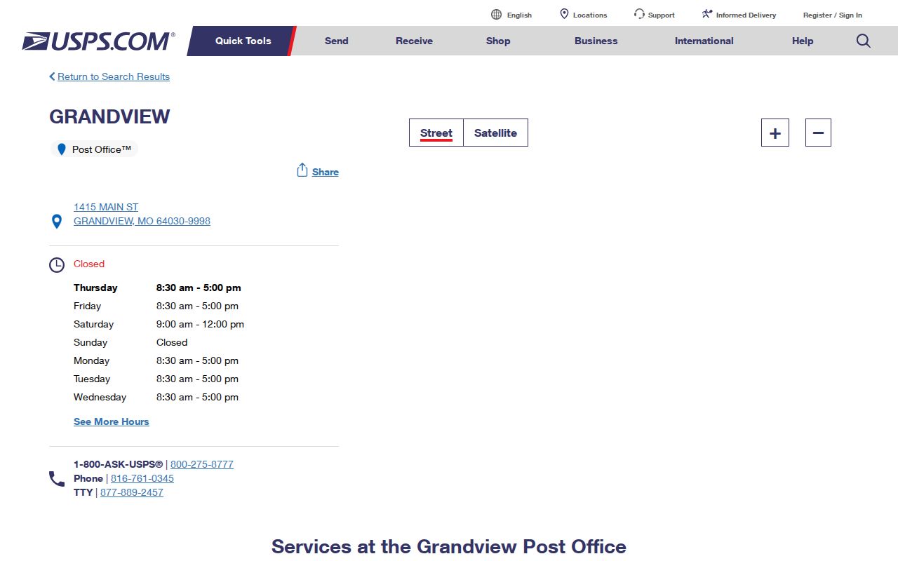
Use the postal result with the written address, then move to a parcel source if the city limit, tax account, or legal description matters.
Grandview ZIP Search Limits
A ZIP can narrow a search only when the specific system offers a ZIP field. Jackson County's assessment landing page confirms street-address and Parcel ID searching, but the portal's ZIP filter was not confirmed while it was under maintenance. The GIS viewer can browse mapped geography, yet no ZIP layer or ZIP search control was confirmed. Missouri's voter lookup is a one-person, county-based exact match and has no ZIP-wide mode. Treat any claimed ZIP filter as unconfirmed until it appears in the live portal.
- Confirm the delivery address and ZIP with USPS, including ZIP+4 if returned.
- Open the Jackson County Public Property Portal and search the street address or Parcel ID, the two confirmed methods.
- Check the parcel in the Jackson County Parcel Viewer for its situs address, parcel number, districts, and legal description.
- Use the Recorder only after the parcel or legal-description details are in hand when a deed or plat must be checked.
Once the ZIP has narrowed an area to a particular road, the detailed address chain belongs with the Grandview by-street directory. ZIP searching does not replace a parcel-by-parcel review.
Grandview ZIP Portal Inventory
These tools answer different questions. USPS confirms a delivery address. The assessment database and map deal with property, not a roster of occupants. The voter service checks a named person's registration when all required identity fields are supplied. The distinctions matter because a ZIP-wide result, where one exists, can cover more than the incorporated city and can miss a record keyed to a mailing address elsewhere.
| Portal | ZIP mode | What a ZIP search would mean |
|---|---|---|
| USPS ZIP Lookup | Address to ZIP/ZIP+4 | Authoritative delivery-address verification. |
| Missouri State Highway Patrol registry | ZIP text field | Registered-person matches within a ZIP, subject to the registry's public-warning limits. |
| Jackson County Assessor | Not confirmed; address and Parcel ID confirmed | If exposed, property and tax results, not an occupant list. |
| Jackson GIS | Map browse; ZIP layer not confirmed | Parcels in the mapped area, not a postal roster. |
| Missouri voter lookup | No ZIP field; county required | One-person registration match, not a ZIP-wide search. |
| Missouri business and license search | Address fields or results; ZIP-wide mode not confirmed | An entity or license address affiliation, not a resident roll. |
Missouri's voter lookup requires the registered first name, last name, date of birth, last four Social Security digits, and county. Exact spelling matters. It can show registration status and district information after a successful match, but it cannot produce a public list for everyone inside 64030.
Grandview ZIP Parcel Crosscheck
The Jackson County assessment portal is the address and Parcel ID starting point for property research. Its 2025 rollout added property record cards, printable impact notices, and 2022 and 2025 values. County materials say the cards update as information changes and are not certified legal documents. A property record can identify a parcel, owner name, owner mailing address, situs address, values, exemption information, districts, and legal description, but it does not prove that an owner resides there.
The county property search landing screen below shows the official entry point for checking a Grandview address after its postal ZIP has been verified.
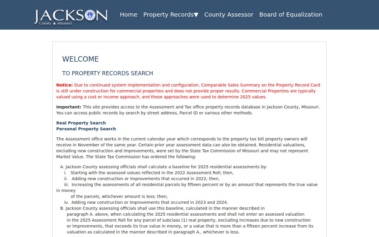
Its confirmed address and Parcel ID options are useful crosschecks when a 64030 delivery result needs to be tied to the county's property record.
Next, use the Jackson County Parcel Viewer to see the mapped parcel and its Basic Information panel. The viewer lists such items as parcel number, address, lot size, building information, land-use code, tax-code area, exemption, service districts, and legal description. It cautions that parcel dimensions are approximate and sends easement research to the Recorder of Deeds.
The parcel viewer is pictured here because it places a Grandview address in mapped context rather than treating a postal ZIP as a property boundary.
Where an easement, lot line, or ownership transfer needs proof, use the map as context and consult the Recorder record or a survey rather than measuring from GIS.
Note: Parcel dimensions in the viewer are approximate, so the map is not a survey and does not settle a legal boundary dispute.
Grandview ZIP and City Limits
ZIP 64030 and Grandview city limits overlap but are not interchangeable. A delivery address outside the incorporated boundary may use Grandview as its postal city, while a parcel inside or near the city may route through a Kansas City postal area. For jurisdiction, look to the city or county map. For a tax parcel, use assessment and GIS. For mail delivery, use USPS. For a deed trail, preserve the legal description from the Recorder record.
Grandview's original platting was around 1900, and the city identifies a Main Street Conservation District from 10th to 5th streets between Goode and Rhodes. Older address research is therefore safer when it retains the subdivision, lot, block, or other legal-description terms rather than relying on a current mailing label alone.
Grandview ZIP Address Terms
Several address labels can describe the same property. Keeping them separate prevents a postal result from being mistaken for a tax record or a deed description. The parcel number is a county search key, but the official pages did not publish a standard Jackson County Parcel ID format, so there is no reason to invent one.
- ZIP code and ZIP+4
- A five-digit code routes mail to a delivery area. ZIP+4 adds a more specific delivery segment, often useful for a block or side of a street.
- PO-box ZIP
- A postal code used for post-office boxes rather than ordinary street delivery. None was verified as serving incorporated Grandview.
- Unique ZIP
- A code assigned to a single organization or large recipient. No unique ZIP was verified for incorporated Grandview.
- Carrier route
- A postal delivery grouping. It supports mail operations but does not establish a city limit, precinct, or property ownership.
- Situs and legal description
- The situs is the physical parcel location. A legal description identifies land by lot, block, subdivision, or metes and bounds and is the bridge to deeds and plats.
Note: A mailing address can change without a title transfer, while the legal description is the more durable link across deed and plat records.
Grandview ZIP Property Updates
Jackson County announced the Public Property Portal on July 2, 2025. The new portal covers residential and commercial real property as well as personal property, shows the advertised 2022 and 2025 values under a Values tab, and allows impact notices and property record cards to be printed. That is useful context when a Grandview ZIP search leads to a parcel card with recently updated information.
Property values, delivery routing, and city jurisdiction are separate facts. Check the county portal announcement for its current description, and verify any official-record question with the responsible custodian rather than relying only on a printable card.