
Grandview Block Sources
Public sources describe a block in layers. The Jackson County map supplies adjoining parcels and legal descriptions. Assessment records add owner and tax-mailing information, but neither one is proof that an owner occupies a house. A recorded deed can establish a transfer trail. A precinct register is governed by a defined statutory field set and protected-address rules. Grandview's association resource can identify the civic organization connected to an area, while library directories offer an older snapshot when an exact run is available.
| Source | What It Shows About a Block | Access |
|---|---|---|
| Jackson County GIS Parcel Viewer | Adjacent parcels, legal descriptions, districts, and an owner panel | Free map; parcel geometry is approximate |
| Assessment cards | Owner and tax-mailing information, values, exemptions, and property details | Public portal, phone, or copy; not occupancy proof |
| Recorder deeds | Current or prior owners and a legal transfer chain | Aumentum, counter, or copy request |
| Precinct register | Statutory voter names, year of birth, address, party, and district fields | Jackson County Election Board inspection or request; protected exceptions apply |
| Grandview permits and code | Work, applicant or contractor, inspection, and notice information by address | GOVBUILT plus a Sunshine request for historical material |
| HOA resource page | Association names, status, officers, and limited block or household context | City resource page; no member directories stated |
| MGC directories | Historical occupants, phone, or business-address clues where a collection provides them | Midwest Genealogy Center; confirm exact runs |
The useful result is a documented parcel relationship, not a complete household roster. The distinction is especially important for tax mailing addresses, trusts, entities, nonresident owners, and protected voter records.
Grandview Parcels Around a Block
The immediate-block method starts in the Jackson County Parcel Viewer. Zoom to the address until street names and parcel outlines can be read. Click the target parcel first, then preserve its parcel number, situs address, legal description, districts, and owner-panel details. The map creates adjacent visual context. It is not a survey and should not be used to measure a lot line.
- Locate the target address and record its parcel number, situs address, and legal description.
- Click each touching or nearby parcel, including both sides of the street and the corners, and save the same identifiers.
- Open the Property Info App for each parcel when fuller assessment details are needed.
- Use the legal description or owner name in the Jackson County Recorder records system only after the parcel details have been collected.
- Document whether a street, ZIP, ward, precinct, or city boundary changes the apparent relationship.
For a longer named-street chain, use the Grandview by-street directory after the immediate block has been mapped. That broader workflow handles parcel lists street by street rather than treating the map view as a complete record chain.
Grandview Parcel Fields Around You
The GIS Basic Information panel can show parcel number, address, lot size, building information, land-use code, tax-code area, exemption, school, library, fire, and water districts, plus a legal description. Property information then links out for more detail. Parcel dimensions shown in the viewer are approximate. Easements are not maintained in GIS or Assessment records, so an easement question belongs with the Recorder of Deeds.
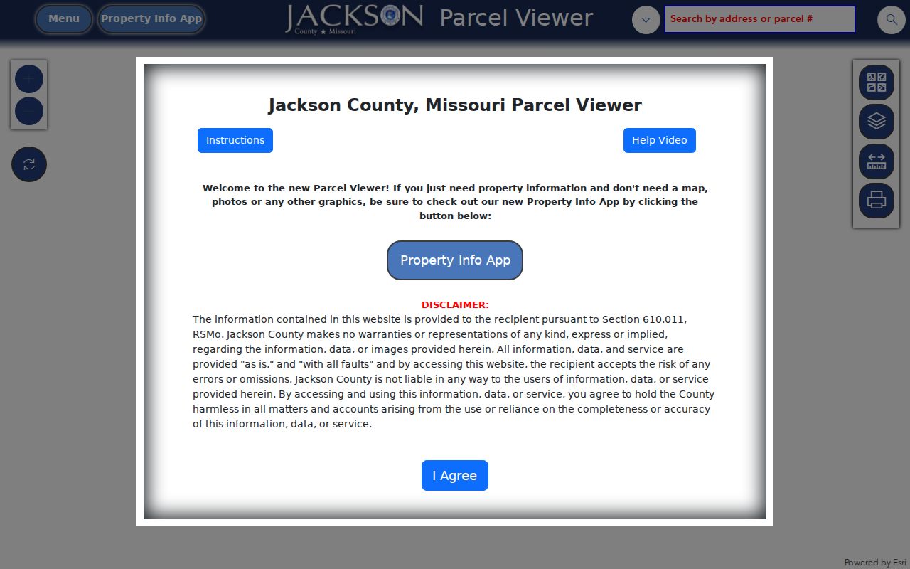
The Jackson County Parcel Viewer below is the source for the mapped block workflow and the panel context used for the immediate area.
Use each selected parcel as a record key. A map point helps organize the work, while the legal description is the safer bridge to a deed, plat, or prior transfer.
Assessment data separates the situs address, where the parcel is located, from the owner mailing address, where the county sends tax material. A non-Grandview mailing address can reflect tax billing, a trust, an entity, or another contact location. It does not establish where a person lives.
Note: The GIS viewer warns that its parcel dimensions are approximate, so an easement or boundary question requires the Recorder record or a qualified survey source.
Grandview Precinct Records by Street
Missouri's voter lookup checks one person, not a block. The Secretary of State service requires exact registered first and last names, date of birth, last four Social Security digits, and county. For Grandview, choose Jackson County. A successful result can show registration status and voting-district, polling-place, or ballot information when available. The service does not offer a ZIP-wide or address-wide roster.
RSMo 115.157 controls public voter-file fields, including unique voter ID, name, year of birth, residential address, township or ward, precinct, districts, and party affiliation. RSMo 115.163 permits a precinct register arranged alphabetically or by street address to be inspected at reasonable times, subject to protected-record exceptions. Ask the Election Board for a defined precinct, ward, election, or date range rather than trying to derive a block from individual lookup results.
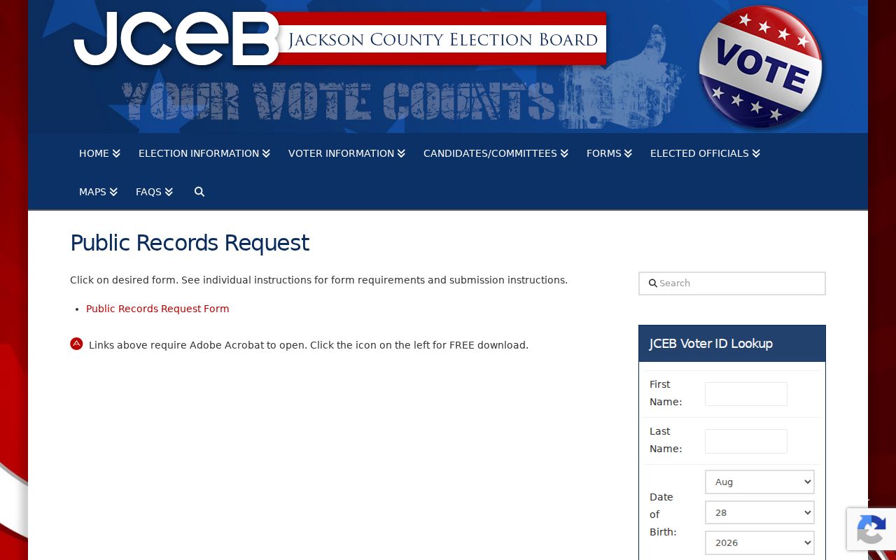
The Jackson County Election Board public-record request page is the appropriate request entry point. Its page states that the Board responds by the end of the third business day, excluding weekends and legal holidays. Request the statutory public fields, the preferred format, an inspection or copy option, and any fee estimate.
The Election Board request page appears below as the source for a formal, defined record request involving an address area.
Do not request or share full dates of birth, Social Security numbers, signatures, ballot choices, or protected residential addresses. The register is a statutory record, not a public map of every household.
Grandview Association Contact Context
The city's Neighborhood and HOA resource page identifies five associations in active or good standing. These records add civic context to a parcel area. They can help a person find the proper contact route or understand an association's history, but none of the city entries says it publishes a member directory. Membership cannot be inferred from a parcel, a mailing address, or a map position.
| Association | City resource-page context | Actual access limit |
|---|---|---|
| Greenfield Village Homes Association, Inc. | Active/Good Standing; SOS charter N00006611 | City page lists association contacts, not a public member directory. |
| Highgrove Estates Homes Association | Active/Good Standing; 315 households across 19 blocks; charter N01226851 and former N00012539 | City Development Services supports contact; no public membership list is stated. |
| Sunrise Farms Homes Association, Inc. | Active/Good Standing; SOS charter N00925510 | The resource page supplies organization context only, not household membership. |
| The Fountains Homes Association, Inc. | Active/Good Standing; charter N00016249; developed in 1971 by Norwood Development Co. | The resource page does not state that a resident list is public. |
| The River Oaks Homes Association | Active/Good Standing; formerly Merrywood; SOS charter N00016791 | Use the stated contact route rather than assuming membership from a nearby address. |
Grandview Development Services supports local organizations at 816-316-4820 or 816-316-4822. Ask an association how residents participate or how a contact request is handled. Do not turn association status, officer listings, or block counts into a list of people living there.
Grandview Highgrove Block Context
Highgrove Estates is the clearest local example of a neighborhood description that is useful without becoming a roster. Grandview describes it as 315 households organized into 19 blocks and marks its association active and in good standing. Those figures provide a scale for an association's civic footprint. They do not identify which parcel belongs to which household or who currently resides at any address.
Start with the parcel viewer when a specific block is known. Then use the association resource for contact context and public city meeting material for neighborhood issues. A city agenda or minutes can name public participants and topics, but it should be read as a civic record, not as a membership database.
Note: A neighborhood count describes association context, not current occupancy, ownership, voting eligibility, or a verified household list.
Grandview Fountains Block History
The Fountains Homes Association adds a dated development clue to an address search. Grandview's resource page describes the association as active and in good standing, gives its SOS charter number, and says the development was created in 1971 by Norwood Development Co. That date can help frame a search for plats, deeds, early owners, permit files, newspaper notices, or association contact history connected to a parcel in that development.
For historic work, preserve the lot, block, subdivision, and legal-description terms from the property and Recorder records. Addresses can change in spelling or city-label context, while a legal description is the more durable way to match a parcel to its deed chain. The research did not establish a public historical association roster, so do not assume one exists.
Grandview Neighbor Sources Compared
Official and commercial tools do not make the same claims or offer the same reliability. A county map and recorder record are accountable to a named custodian and show their record type. Commercial people-finding tools combine data from different sources and can carry same-name, stale, or mismatched-address errors. Use official sources to verify the narrow fact needed for a lawful personal, family-history, civic, or safety purpose.
| Source category | Strength | Limit to remember |
|---|---|---|
| Official parcel, assessment, deed, and voter records | Identifies a defined record, keeper, and access channel | Each record has a limited purpose and may exclude protected or nonpublic information. |
| Commercial people-finding tools | May offer broad leads or old address associations | Data can be inaccurate, stale, or attached to the wrong person and is not an official record. |
When an official record is unavailable online, use the documented fallback. The Recorder can supply copies, the Election Board can explain a defined request, City Clerk channels handle Sunshine requests, and Midwest Genealogy Center can help identify historical collections. A failure in one portal does not change the privacy limits of another record.
Grandview Neighbor Privacy Limits
Several categories remain outside a public block search. Parcel records do not identify every renter, guest, household member, or utility customer. The voter register does not disclose ballot choices, full dates of birth, full Social Security numbers, signatures, driver's-license numbers, or addresses protected by law. Under RSMo 115.157(6), qualifying covered people can seek a court order to close a residential address. Missouri's Safe at Home program also provides a designated address for people who fear future harm.
A location can be across a street, ZIP boundary, ward, or city line from the target parcel. Record the actual relationship and respect closed records. That approach keeps the inquiry tied to public facts rather than assumptions about the people around an address.