
Trace a Grandview Street Address
The useful sequence is address, parcel, property card, deed chain, street register, then dated directory evidence. A street name alone can be too broad and may not be the way a deed was indexed. Jackson County's parcel tools connect an address with the stable identifiers needed for the next search. Treat the county card as property and tax information, not proof of who occupies every room at that address.
- Enter the address in the Jackson County assessment portal, or use its Parcel ID option when the address is unclear. Save the situs address, parcel number, owner name, mailing address, and record date.
- Open the same parcel in the GIS viewer. Confirm the legal description and inspect the nearby parcels one by one, rather than assuming a map label describes a whole block.
- Use the property card to compare the property location with the tax mailing address. Keep both labels because they answer different questions.
- Search the Recorder's index with the owner as grantee and with the legal description or recorded reference. Follow the seller from the deed backward through the same lot or block.
- For a street-ordered voter register, ask the Jackson County Election Board about inspection or a defined public-record request. The online voter tool is an exact-person match, not a household browser.
- Use a reverse or criss-cross directory only as a historical address snapshot, then verify its geography and date against the parcel trail.
That chain keeps the Grandview street record trail grounded in material that is actually keyed to a location. It also separates ownership, postal correspondence, registration, and historical appearance rather than merging them into one claim.
Grandview Parcel Card Details
The Jackson County Assessment Public Property Portal supports street-address and Parcel ID searching for real and personal property. Its 2025 launch materials describe printable impact notices and property record cards, plus 2022 and 2025 values. The public landing page also warns that residential values may reflect State Tax Commission direction rather than market value. County Taxpayer Assistance is an alternate channel at 816-881-3530 or tpaASMT@jacksongov.org when the portal does not answer a specific parcel question.
The assessment portal is shown in this official property-search view.
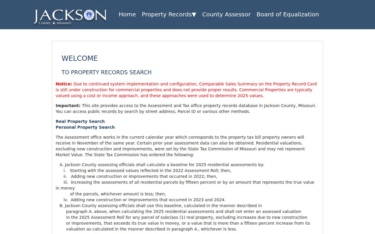
The screen confirms the available street-address and Parcel ID entry points, while the full advanced-field list was not visible during the research inspection.
| Portal field | Use for a Grandview address | Research status |
|---|---|---|
| Real Property Search | Starts the county property search | Confirmed |
| Street address | Finds a property when formatting matches the live portal | Confirmed; exact formatting not located |
| Parcel ID | Connects an address to the county parcel identifier | Confirmed; exact format not published |
| Owner name | May be useful after an address search | Not confirmed in the maintenance fetch |
| ZIP, city, or subdivision | Do not rely on an advanced filter | Not confirmed |
| Values tab | Shows advertised 2022 and 2025 value information | Confirmed in launch materials |
Parcel cards can display owner and tax addresses, values, land-use and building details, exemptions, districts, and a legal description. Verify fields on the live result before treating a label or exemption as conclusive. Note: The county assesses property on an odd-year cycle, so card values and assessment notices need a current-date check.
Grandview GIS Street Parcels
The Jackson County Parcel Viewer is the street-level map step. Pan and zoom to a Grandview segment, then click individual parcels. The Basic Information panel can expose parcel number, address, lot size, building information, land-use code, tax-code area, exemption, school, library, fire and water districts, legal description, owner panel, and a link to the Property Info App. Those details make the map a practical way to build a parcel list for one side of a street or a full block.
The county parcel-viewer source appears below.
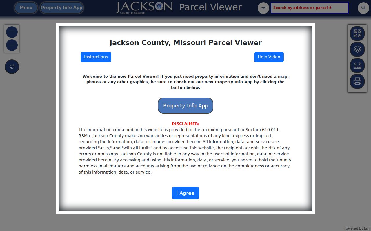
Use the viewer to establish parcel context, then open the detailed property information and Recorder records for evidence that the map does not hold.
Grandview Situs and Mailing Addresses
A situs address is the physical location of the parcel. A mailing address is where the county sends tax material. They can match, but they often do not. A non-Grandview mailing address can reflect tax billing, a trust or entity, or another correspondence location. It does not establish where an owner lives. The same caution applies in reverse: a Grandview situs identifies property within the city area, not every person associated with it.
- Parcel
- A county identifier for a tract or lot used to connect assessment, map, and tax material.
- Situs address
- The physical location used by GIS, assessment, and permit records.
- Plat
- A recorded map that can link a street location to a subdivision, lot, block, and public easements.
- Criss-cross directory
- A reverse directory arranged so an address may lead to a dated occupant or telephone listing.
For a Grandview street directory result, keep the situs, mailing address, parcel ID, and legal description in separate notes. A legal description, usually a subdivision lot and block or a metes-and-bounds description, is the durable bridge when spelling, postal routing, or street numbering changes.
Note: A mailing address can be a useful correspondence clue, but the situs and legal description remain the property keys.
Grandview Deed Chains by Street
Once the parcel is identified, move to the Jackson County Records Aumentum portal and the Recorder of Deeds. Search the current owner as grantee, then use the legal description, parcel reference, instrument number, or book and page to confirm the match. The purchase deed can identify the grantor, grantee, document type, recording date, legal description, references to prior instruments, and any image or certified-copy status. A recorded legal description is safer than a street-only query for following a subdivision lot.
The official Recorder index entry point is shown here.
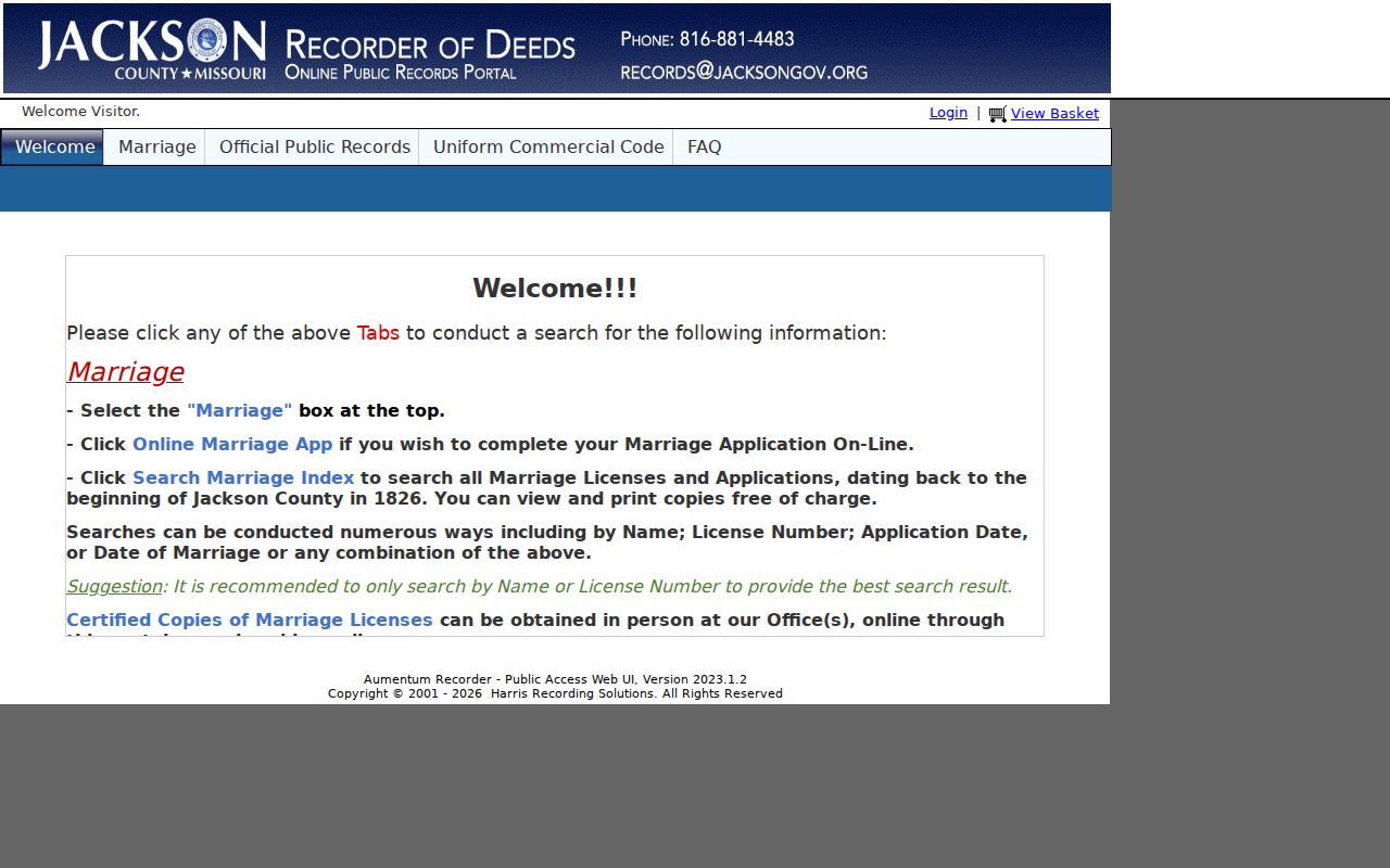
Use an index hit to locate the document, then inspect or order the recorded image when the legal description or transfer terms matter.
Take the seller from the matched deed and search that person as an earlier grantee on the same legal description. Keep each document number before moving back. The Recorder reports certified copies for documents recorded since the 1800s, but the research did not locate a published earliest year for the online Aumentum index. When the web trail ends, use the Recorder counter, email or written request, historic deed books or microfilm, and the Missouri State Archives county-record guide. The Recorder's listed contact is records@jacksongov.org and 816-881-4483.
Grandview Street Register Access
Missouri's individual voter lookup requires the exact registered first and last name, date of birth, last four digits of the Social Security number, and county. It can confirm one submitted registration. It does not provide a public browse-every-address feature. RSMo 115.163 instead permits precinct registers arranged alphabetically or by street address to be inspected at reasonable times, subject to protected-record exceptions. For a defined Grandview segment, ask the Jackson County Election Board about a current register, the available format, inspection versus copy, and lawful fees.
The Jackson County Election Board public-record request form is the documented request route.
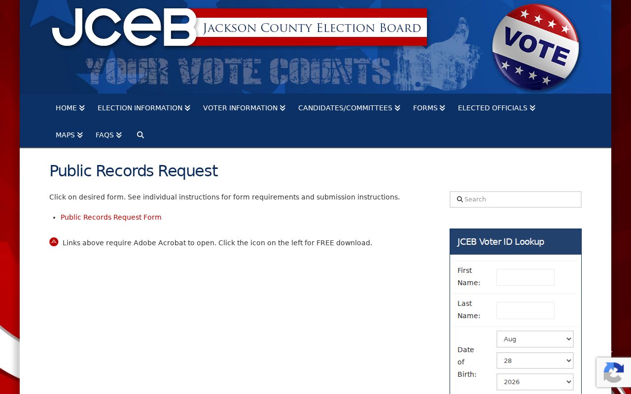
The request channel is more suitable for a defined precinct, ward, election, or date range than repeated individual online searches.
Request only the statutory public fields. RSMo 115.157 covers such items as name, year of birth, address, township or ward, precinct, districts, and party information, while full dates of birth, signatures, ballot choices, and protected addresses stay closed. The Election Board is at 215 N. Liberty in Independence, phone 816-325-4600, with listed weekday hours of 8:30 to 5.
Note: A street register can have an election-specific purpose and protected fields, so ask for a defined public record.
Grandview Address Record Coverage
Each Grandview street record describes a different part of the address trail. The assessment card and tax account concern property and billing. GIS supplies map context. Recorder material supplies the legal transfer path. A permit or code file can document a project or notice without proving a household. The table keeps those boundaries clear.
| Address record | Custodian | Useful street detail | Access channel |
|---|---|---|---|
| Assessment parcel card | Jackson County Assessment | Owner, mailing and situs addresses, values, characteristics, exemptions | Public portal, phone, or copy request |
| GIS parcel | Jackson County GIS | Geometry, legal description, districts, nearby lots | Free viewer; dimensions are approximate |
| Deed or plat | Recorder of Deeds | Grantor, grantee, lot and block, easements, references | Aumentum, counter, mail or email; copy fees may apply |
| Tax account | County Collection | Parcel, levy district, bill and payment information | Payment portal, office, email, or Sunshine request |
| Permit or code file | Grandview city departments | Project, applicant, contractor, notices, dates, status | GOVBUILT application route or defined Sunshine request |
| Street-ordered register | Jackson County Election Board | Limited statutory voter fields | Inspection or defined request; protected exceptions apply |
Parcel number and legal description are the strongest connectors across this Grandview street directory workflow. A street label is still useful for browsing, but it should not replace a lot-and-block match when the search turns to deeds or plats.
Grandview Permit Record Limits
Grandview Public Works permits and Community Development records can add a physical-history layer to an address. Ask by address, permit or case number, type, and date range. A focused Missouri Sunshine Law request can seek the applicant or owner, contractor, plans, inspections, certificate of occupancy, code notices, and status that the department can release.
GOVBUILT handles applications, but the research did not establish a public historical permit-browser or verify its search fields. A permit applicant or contractor may not be the owner, and none of those labels identifies every occupant. Note: If no site address exists or the location is wrong, use county Property Tools for correction and city or county zoning for address assignment.
Grandview's 1975 Street Lead
A dated address snapshot may come from the Midwest Genealogy Center shelf or the verified 1975 Kansas City suburban directory south run. The FamilySearch record identifies that 185-page item as a Lions Club of Grandview publication and says it includes Grandview, Hickman Mills, and Martin City. Its broader suburban scope matters. Confirm the town or neighborhood in the entry before treating it as a Grandview address.
Historical volumes and reverse-directory availability are handled in more depth with the Grandview city directory collections. In a street search, the key point is narrower: use the entry as a dated lead, then reconcile its street number with the legal description, plat, or other period source.
Note: The 1975 volume reaches beyond Grandview, so a matching street name alone does not establish the city location.
Grandview Plats and Addresses
Grandview began as the Anderson District and became a city in 1912. The city's historic-preservation material places original platting around 1900, with early subdivisions following. For older Main Street-area research, recorded plats can join a street name to a lot and block more reliably than a modern postal label. The Main Street Conservation District covers the corridor from 10th to 5th between Goode and Rhodes, but a historic reference still needs a parcel-by-parcel check.
No official Grandview street-renumbering or renaming project year was located in the research. Do not guess a replacement address. Preserve the old number, compare a historic street index, and use the recorded legal description, city permits, or a plat to bridge the difference. This also matters because ZIP 64030 is postal delivery geography, not a city-limit determination.
Grandview Street Search Limits
No Grandview street directory can produce a complete public household roll. Parcel cards identify property and tax information, not renters, guests, or every occupant. A street-ordered election register is limited to statutory voter fields and can omit protected addresses. Driver and utility account data are not a public street roster. Mailing addresses, permit applicants, contractors, and registered agents also must not be treated as residence findings.
Missouri Safe at Home and court-closed voter addresses can suppress location information for people in qualifying safety situations. If a record appears incomplete, respect the restriction rather than attempting to fill the gap from private accounts or delivery information.
Grandview Recorder Fallbacks
When the online index does not produce a match, narrow the request before contacting a custodian. Give the Recorder the grantor or grantee, approximate recording date, legal description, subdivision and lot or block, book and page, or document number. For a voter request, give the precinct, ward, election, date range, requested format, and whether inspection or a copy is sought. Missouri Sunshine Law custodians generally provide a response by the end of the third business day, although actual search and copy costs can depend on the request.
For older deeds, the practical fallback is Recorder staff, deed books or microfilm, then the State Archives county-record guide. For an old address listing, ask the Midwest Genealogy Center staff to confirm an exact directory run. Those channels prevent the Grandview street directory from overstating what a single live portal can prove.